


Ero là, presente de visu, mentre Gianni Mura batteva sulla sua vecchia Olivetti questo manifesto del ciclismo eroico.


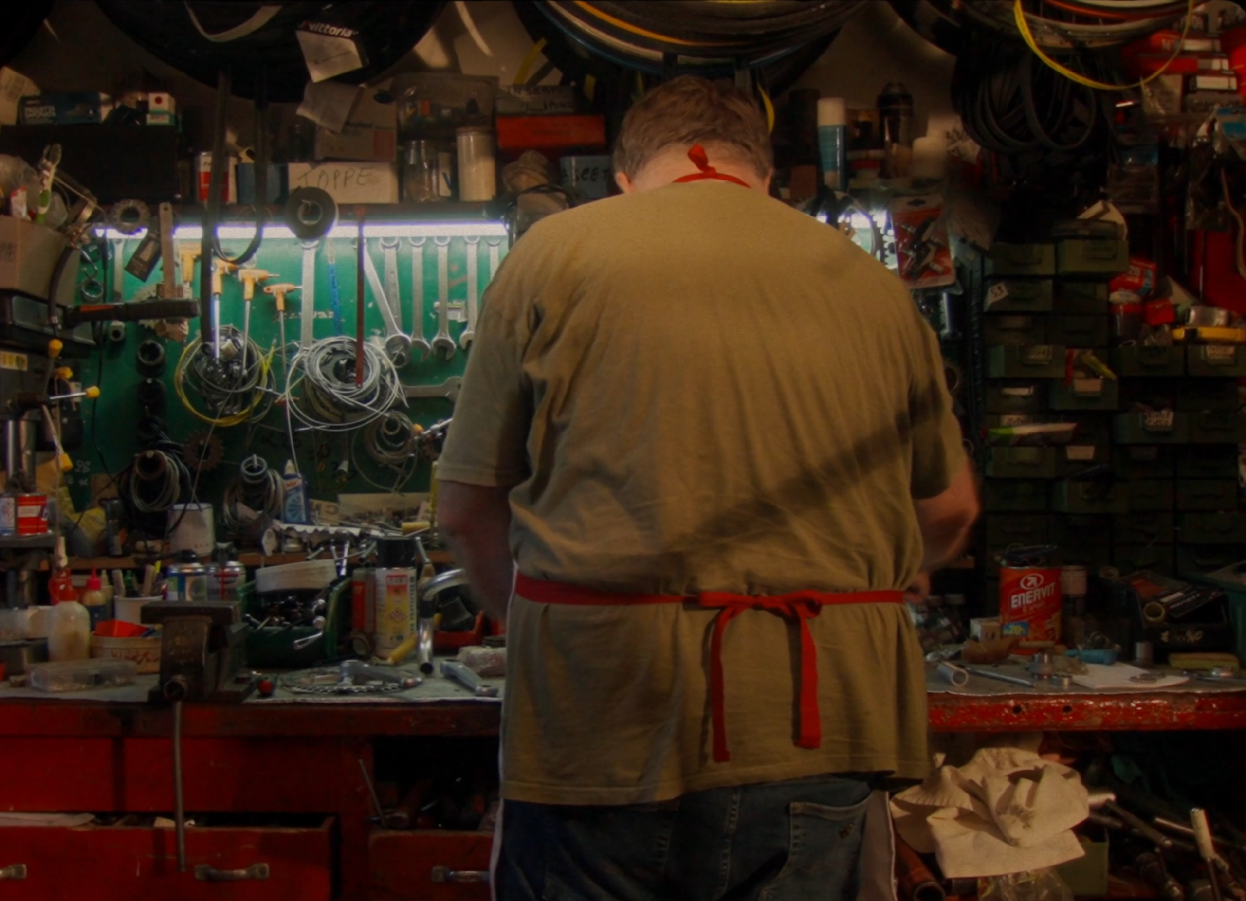
L'Eroica oggi è un movimento capace di attrarre migliaia di ciclisti e appassionati in tutto il mondo. Guardiamo al passato per ispirare un nuovo futuro del ciclismo e dello sport, riscoprendo la bellezza della fatica e il gusto dell'impresa.
La bellezza della fatica e il gusto dell'impresa. Lo spirito di Eroica è tutto nel fascino di
quella che non è una semplice impresa sportiva, ma un vero e proprio stile di vita.


REGISTRO BICICLETTE EROICHE

SHOP

CASA EROICA


Ero là, presente de visu, mentre Gianni Mura batteva sulla sua vecchia Olivetti questo manifesto del ciclismo eroico.

"Non si può fare un’Eroica senza abbracci…”. Così diceva Giancarlo Brocci qualche tempo fa, quando la pandemia fermò un po' tutto e un po' tutti.
La conferma dei miei dubbi sulla mia latente misoginia è arrivata una domenica di ottobre a L'Eroica, il giorno della mia prima Eroica.
La luce dei fari taglia il buio come una lama alle tre e mezza della mattina.
Ero là, presente de visu, mentre Gianni Mura batteva sulla sua vecchia Olivetti questo manifesto del ciclismo eroico.
"Non si può fare un’Eroica senza abbracci…”. Così diceva Giancarlo Brocci qualche tempo fa, quando la pandemia fermò un po' tutto e un po' tutti.
La conferma dei miei dubbi sulla mia latente misoginia è arrivata una domenica di ottobre a L'Eroica, il giorno della mia prima Eroica.
La luce dei fari taglia il buio come una lama alle tre e mezza della mattina.


EROICA
FOLLOW THE CONQUEST


